SPACESTORM is a collaborative Project funded by the European Union's 7th Framework Programme to model space weather events and mitigating their effects on satellites. The project builds on the forecasting of space weather started by the FP7 SPACECAST project.

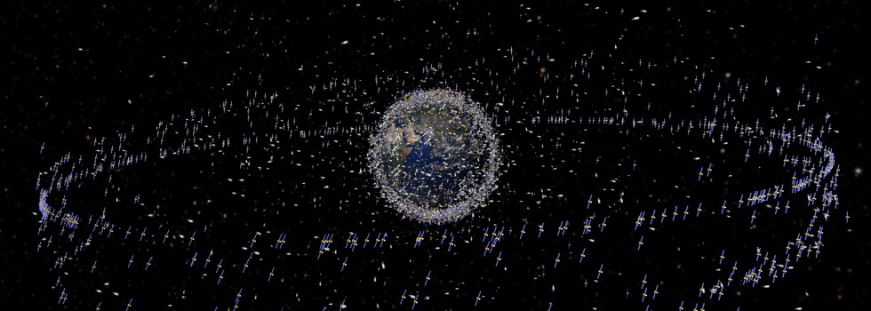
There are over 1,300 operational satellites (2016). Space weather can disrupt satellite services, damage components and in some cases cause total satellite loss resulting in major insurance claims [Horne et al., 2013].

The SPACESTORM project has developed a set of Risk Indicators to help forecast the risk of satellite damage due to space weather. They are the first to combine the radiation environment with engineering effects on satellites. We forecast up to 24 hours ahead.


Click here for our High Level Satellite Risk Indicators.

Click here for our Science Forecasting Pages.


Our webpages are available for satellite operators, designers and space insurance to help resolve the cause of a satellite anomaly and to build more resilient spacecraft.

SPACESTORM will assess the impact of an extreme space weather event on satellite systems and components.  It will use the model outputs to guide experiments on surface charging and internal charging.  Both low intensity long duration and short intense radiation experiments will be performed. The results will be used to assess the risk to satellites.

SPACESTORM will develop a new set of mitigation guidelines as a result of the modelling and experimental work performed earlier.  It will also test new materials and designs to reduce surface charging via passive electron emitters to help reduce the vulnerability of satellites. It will also provide near real time forecasts of the high energy electron radiation belts, which are important for internal charging, and the lower energy seed population which is important for surface charging, and warnings of magnetopause compression for Galileo.

SPACESTORM will seek a close interaction with stakeholders and beneficiaries of the project.  We will communicate our results to stakeholders, the public, young people, scientists and policy makers.  Feedback will be used to guide the Steering Committee, facilitate work with stakeholders to identify best practise and to minimise the risk to space assets, and summarise the lessons learned.


SPACESTORM continues the forecasting of space weather first started by the EU SPACECAST project. It is developing new set of web displays specifically for satellite operators and designers.  This site describes the project, partners, work to be carried out and dissemination activities.

The forecasts that are further developed in SPACESTORM can be seen in the SPACECAST web site via the link here.  They contain additional scientific data displays to aid interpretation. More information on these 3 forecasts see Forecasting section above. Click here for our high level risk indicators.


Print


SPACESTORM is conducting extensive modelling of space weather events for post event analysis, and carrying out research to improve and verify the models against satellite data.  It will generate a 30 year reconstructed dataset for MEO and determine the space radiation environment for a 1 in 100 year event, and model extreme event scenarios. It will increase knowledge on key physical processes underpinning radiation belt dynamics and improve the representation of physical processes in numerical models and reduce uncertainty.